Systems

Main Employed Technologies
This list of offers encompasses a wide range of services and applications within the field of Geographic Information Systems (GIS) and geospatial technology. It includes expertise in remote sensing, covering orbital, aerial (from planes and drones), and various types of imagery, radar, and Lidar data, as well as the analysis of 3D information.
GIS (Geographic Information System): GIS is a system for capturing, analyzing, and visualizing spatial data, often used in map-making and location-based decision-making.
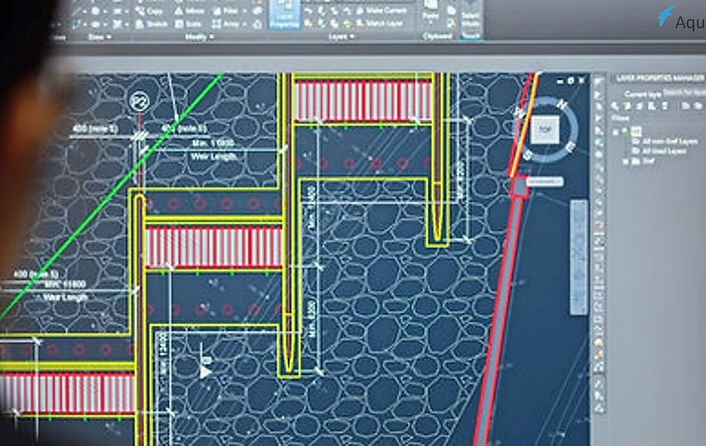
CAD (Computer-Aided Design): CAD software is used by designers and engineers to create detailed 2D and 3D models of products and structures.
CAE (Computer-Aided Engineering): CAE software enables engineers to simulate and analyze complex designs and systems for testing and optimization.
Fleet Management: Fleet management software helps organizations manage and monitor their vehicle fleets, improving efficiency and reducing operating costs.
Network Management: Network management tools are used to monitor and control computer networks, ensuring their reliability, performance, and security.
Facility Management: Facility management software assists in the efficient management and maintenance of buildings and facilities, including space allocation and equipment maintenance.
Incident Management: Incident management systems are used to track and respond to various incidents, from IT issues to emergency situations, ensuring a coordinated response.
Workforce Management: Workforce management software helps organizations optimize employee scheduling, performance, and productivity, enhancing overall efficiency.
Additionally, the list includes proficiency in Global Positioning System (GPS), geospatial data analysis, and spatial data visualization.
These services extend to specialized areas such as cartography and map design, urban planning and management, transportation and traffic management, disaster management and response, environmental monitoring and conservation, precision agriculture, public health and disease mapping, natural resource management, location-based services (LBS), and Geographic Information Science (GIScience).
Furthermore, the list incorporates expertise in Geospatial Intelligence (GEOINT), handling geospatial big data, creating and maintaining Spatial Data Infrastructure (SDI), addressing geospatial data privacy and ethical concerns, and the application of GIS in archaeological and cultural heritage mapping. In essence, these offers encompass a comprehensive array of geospatial and GIS-related services, catering to diverse sectors and applications.